What you see, may not be.
Constellations spoke with Ken Campbell, President of Edgybees Inc. (the U.S. division of Israel-based Edgybees), about geo-registration, which takes geospatial imagery to the next level of accuracy for applications that range from disaster response and precision agriculture to military and intelligence planning.
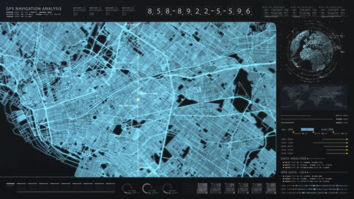
Satellite imagery might capture the number of buttons on your shirt, but not know where you’re standing, which can be a problem for any number of geospatial use cases that rely on precise location.
Campbell said geo-registration is like fitting a puzzle together to match digital maps and images to the real-world locations on the Earth’s surface. “It’s like putting a transparent overlay of a map on top of the satellite image or photo, so that the features in the map perfectly match the features in the image.”
That’s crucial for applications that rely on accurate place-based location such as navigation and remote sensing. In agriculture, for example, Campbell said farmers need a true picture of the location and state of water sources, as well as for surveying and civil engineering purposes. Other fields where precise cartography and mapping are essential include emergency management, disaster response and military planning.
Campbell said there are numerous reasons the positional accuracy of a raw image from a sensor can be off by tens of meters. That can be due to atmospheric distortion of the Earth, orbital errors from satellite movement, sensor calibration, topography and even data transmission.
“There’s a whole bunch of things that you have to factor in,” he said, which is why images from sensors are needed as well as geo-registering that data into digitized maps.
The Reference Point
One common method for geo-registration, he explained, is the use of ground control points on a digitally mapped image. Those reference points are usually easily identifiable features on the Earth’s surface, such as road intersections, bridges and buildings whose geographic coordinates have already been processed and are known. “You can see the latitude and longitudes associated with the pixels as you cursor over it.”
The problem with geo-registration, Campbell said, is that it takes time. It can typically take minutes to hours to spatially reference and process an image.
That’s where AI and machine learning come into the picture. Geo-registration makes sure that the digital map and all the features in the image align on top of each other to accelerate the process. In a raw image strip of multiple square kilometers, for example, algorithms would perform thousands of calculations per second, quickly comparing the features in the image to the control points in the reference layer, completing the process to improve accuracy and speed.
Sensor data that may be off 80 meters from the actual target can be snapped to the reference layer, and prepared for additional AI and machine learning processes such as automated object detection. That becomes important for a variety of applications, Campbell explained, whether for commercial industry, counting cars in a port, or in the military to identify exquisite military items. In addition to auto object detection, the military also requires change detection to identify troop movements or massing of equipment, he added.
Technology that reduces labor and helps take the cognitive load off analysts gives them more time to actually consider what they’re looking at, if that change is actually happening or if it’s being spoofed, he said.
“The bottom line is, when you’re able to speed up that whole process, you’re now giving the analysts back time to do that level of analysis to get to a better answer regarding what is going on on the ground.”
Satellites ≠ accuracy
Even with so many up-and-coming space imaging companies, where it’s getting cheaper to put up satellites, Campbell said it’s still very expensive to maintain accuracy at a high level (below 5 meters).
On the difference between resolution and positional accuracy, he noted, “You can certainly zoom in and see the writing on your glasses, but the positional accuracy of where you’re actually located may come through in the raw data as tens of meters off.”
Companies that often don’t have millions of dollars to put enhanced capabilities in orbit can use geo-registration to improve positional accuracy.
Positional accuracy is only limited by the level of accuracy of the base layer used. If the reference layer is at 1 meter level accuracy, meaning each pixel is within a meter of the latitude and longitude it’s supposed to be, geo-registration will align the image accuracy at that level.

Advances in Real-time Image Processing
Campbell cited other areas where AI and the continuous improvements in algorithms are designed to “crunch and do the sense-making of all this data,” but that all starts with the compute power.
He credited the move to graphic processing units (GPUs) and the power of parallel processing for accelerating the ability to process massive amounts of information in real time.
He cited auto object detection, for example, “As that raw data is coming down from the bird, you stream it through the inference engine and algorithms and it’s automatically identifying objects of interest.” That data then goes to users or analysts downstream who need to see that information in order to take some course of action or make a decision.
Another application is “semantic segmentation” for land use or land cover. To make sense of what’s on the ground, algorithms process and classify each pixel into categories. “This is very helpful, particularly when you’re talking about things like agriculture and water use, identifying crops and assessing their health, and that sort of thing.”
To hear more about geo-registration and other advanced processes for satellite imagery, such as super resolution, and the use of the cloud and knowledge management to make all that data useable, click here.
Explore More:
Space and Generative AI: Believe the Hype
Podcast: Satellite-as-a-Service, Data Fusion and Sovereign EO
Earth Observation Market Trends to More Growth, Value from Data
The Complicated History of US Commercial SAR