Hyperspectral imagery can provide a wealth of information about the world around us. To take advantage of this, Earth observation company Pixxel is building a constellation that gathers data on environmental issues like deforestation, pollution, and oil and gas leaks. Constellations spoke with Awais Ahmed, Founder and CEO of Pixxel, to learn more about how this satellite data is gathered and refined.
Listen to the full podcast episode, or read our top four takeaways below.
Takeaway 1: Advances in spatial, spectral and temporal resolution are changing how EO data is captured.
Spatial resolution is how well you can distinguish detail in an image. At 10 meters of resolution, for example, the viewer can distinguish details that are 10 meters apart. Over the last decade, spatial resolution in EO data has gotten consistently better. “There are now companies that are getting it down to 10 centimeters,” Ahmed said.
There have also been consistent improvements in temporal and spectral resolution. Temporal resolution refers to how frequently a certain location is imaged. Planet Labs, for example, is now capable of daily revisit anywhere on the planet. Spectral resolution, on the other hand, refers to the number of wavelengths that are imaged. Multispectral imagery includes the red/green/blue (RGB) visible wavelengths as well as several infrared wavelengths.
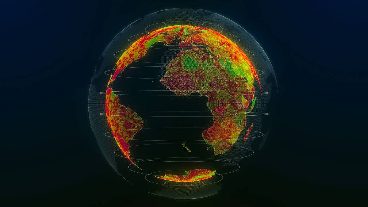
Hyperspectral imagery can pick up hundreds of additional wavelengths, across the entire electromagnetic spectrum. With this capability, “you go beyond human eyesight,” Ahmed said. “You are able to see those invisible problems that you can’t see with normal cameras.”
Takeaway 2: Hyperspectral imagery can act as a health monitor for the planet.
Imagine you are taking a picture of a farm. “An RBG imager would tell you that there is a farm there,” Ahmed said. “With multispectral, you can go one step beyond that and decide if the crop that you’re looking at is healthy or not healthy.”
Hyperspectral imagery produces even more detailed and complex information. “Because of the hundreds of wavelengths, you can identify nutrient content in the soil, you can identify what species of crop is growing, you can identify if there is crop disease,” Ahmed explained. “That’s what makes hyperspectral special; you get roughly 50 times more information per image than other types of imagery.”
Because of this, hyperspectral imagery has the unique capability to show what is going wrong on the planet and what is going right. For example, these images could identify pollutants in water bodies across the world; identify oil and gas leaks in underground pipelines; show patterns of deforestation; or compile information on carbon dioxide emissions and global warming. With these capabilities, an EO constellation acts as a health monitor for the entire planet by identifying potential problems before they become critical.
Takeaway 3: With 50x the data, transferring and processing data becomes more complex.
All of this is only possible if users can make sense of the data. “It’s more complex because of the hundreds of wavelengths that are coming down, which means more storage, and that much more computation,” Ahmed said.
With 50 times the amount of information and detail compared to normal imagery, more storage and data processing space will be necessary. It will also require AI/ML technology to make sense of the data. “You can’t have people sitting there on a daily basis or on an hourly basis and going through all that imagery,” Ahmed said. “You have to automate it.”
Higher downlink speeds will help with this, and some satellites are now capable of data transfer nearing a gigabit per second. Companies like Pixxel also lease ground stations across the planet, which allows satellites to downlink data multiple times throughout the day.
Takeaway 4: In the future, complex EO data can make the Earth “queryable.”
When you use Google, you can ask it to compile information about all of the restaurants in your vicinity. Ahmed predicted that hyperspectral EO data could be used in the same way in the future. “Imagine just going on a platform and typing in, ‘tell me the potential yield for corn this year in the United States of America,’ and then the platform does everything for you on the backend,” Ahmed said.
“You would end up creating a very queryable Earth,” he said. “Everyone can get an answer to what’s happening on the planet on a real-time basis.” Just like modern life would be unthinkable without GPS, the data obtained from hyperspectral imagery has the potential to change how we understand the world—and make the planet a more transparent and more sustainable place. “It’s a good example of how space technology is bringing the benefits of space down to Earth,” Ahmed said.
To hear more about disaster relief, advanced data processing and agricultural use cases, listen to the full podcast episode.
Explore More:
Podcast: Consolidation, Sustainability and the Future of Satellite Innovation
Satellite IoT: Connecting Farming’s Future
Expanding Earth Observation Opportunities and Data Access
Why Experts and Investors Remain Bullish About the Earth Observation Industry